Environmental Module
Overview
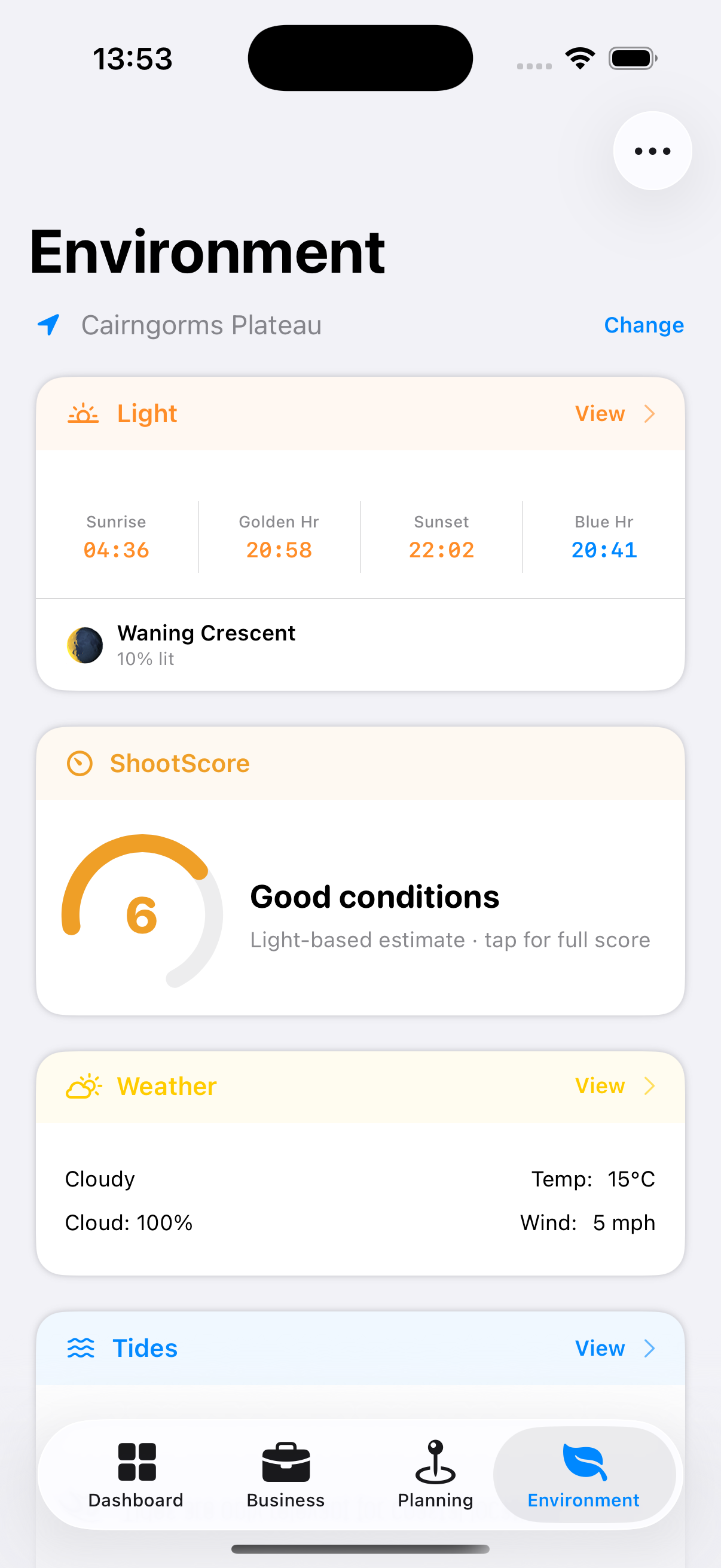
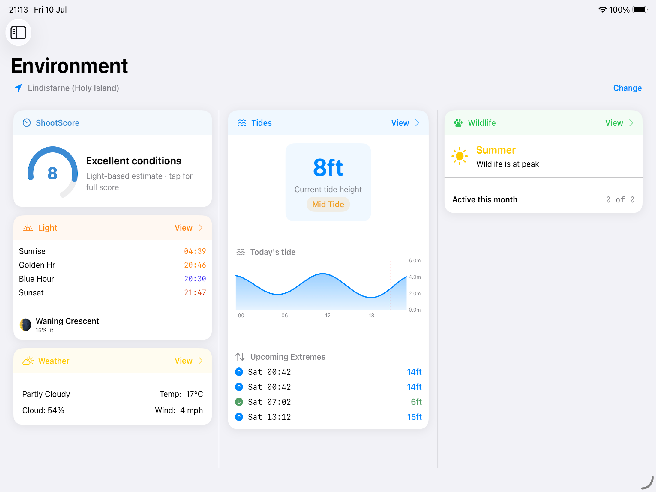
The Environmental module gives you real-time and forecast data for the conditions that matter most to photographers: light, tides, weather, and wildlife. All data is linked to your saved locations.
iPhone iPad/Mac
Controls
At the top of the screen:
- Location selector — Choose any of your saved locations, or use your current GPS position
- Customise — Reorder or hide the environmental cards shown on this screen
Environmental Cards
Below the controls, a set of cards summarises each environmental factor for the selected location — Shoot Score, Light & Sky, Tides, Weather, Wildlife, and Milky Way (where relevant). Tap any card to open its full module.
Reading the Milky Way Band Chart
Unlike the other cards, Milky Way includes a small compass panorama alongside its numbers, and it’s worth knowing how to read it:
- Horizontal axis — compass direction (azimuth), running left to right from North around to North again.
- Vertical axis — altitude, from the horizon at the bottom to directly overhead at the top.
- The arc traces where the Milky Way’s band actually falls across the sky at the selected time. It’s drawn in purple when the core is currently visible, and grey when it isn’t (moon too bright, or core not yet risen).
- The glowing dot marks the Galactic Centre’s live position on that arc. If it hasn’t risen yet, a small triangle sits on the horizon line showing where it would appear.
This is the fastest way to see roughly where to stand and which way to face for a Milky Way shot, without working it out from the raw azimuth and altitude figures.